

![]()
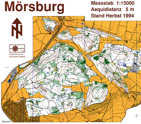
The forest between Welsikon (N), Seuzach (SW) and the Mörsburg castle
(E) is most the important part for the OLG Welsikon in terms of time and
usage.
The Mörsburg map was the first o-map drawn by OLG Welsikon in 1976.
Since then it was remapped three times and in between the most important
corrections were overprinted. Reprints are made in 1979, 1986 and 1994.
Mörsburg is used frequently for trainings because originally most of
the club members were located somewhere around this map.
We provide you a part (2/3) of the latest issue (1994) here:
This scan was done with a resolution of 150 ppi (pixel per inch) and afterwards rescaled using GraphicConverter. Remember a web-browser only can display 72 ppi. Color depth is 256 colors.