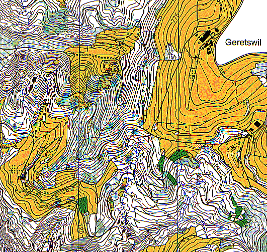

![]()
We are glad to show here the center part of the Schauenberg map with
the ancient tower in the upper left clearing.
The Schauenberg was first mapped in 1982 for a national event. In 1990 about
one half was remapped for a five days event.
The latest issue (1996) was also used for a national event.